
GPR for Geotechnical engineering :
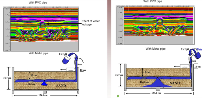
Filtration and leakage of water
Karst cavities, pipes, etc.
Location of underground communications
Surveys for building plots
Survey of landslide terraces
Our contribution includes:
Geological engineering
Civil Engineer.
Hydrology
Bathymetry
Structural study of dams and tunnels

Work examples
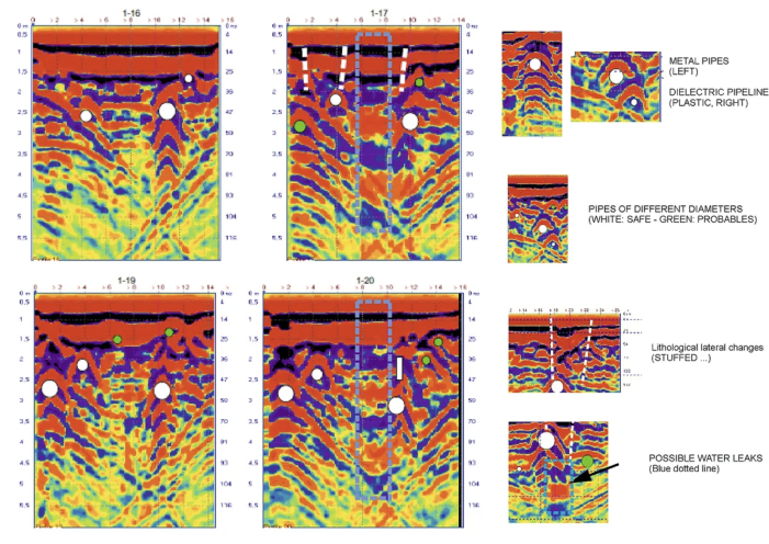
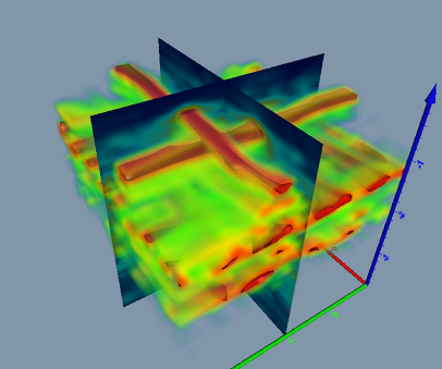
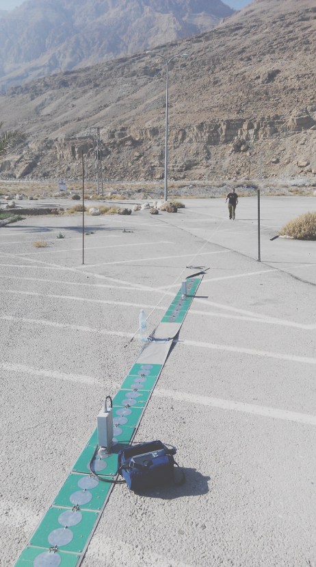
The search for underground communications
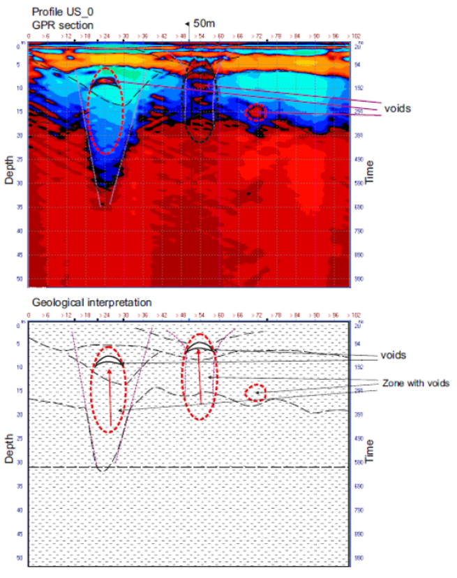
Localization of karst cavities
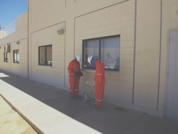
The analysis of the
foundations of buildings
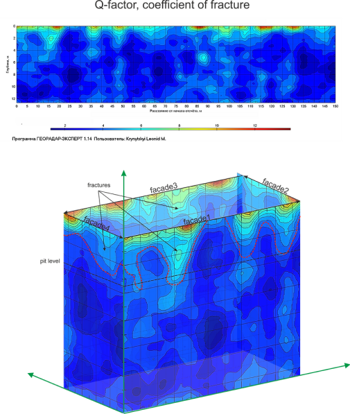
By this study the most vulnerable areas were determined by the occurrence of infiltration and fracturing areas presented, it is the same way mapping fissures predominant flow direction and infiltration was obtained.
Analysis of a sand
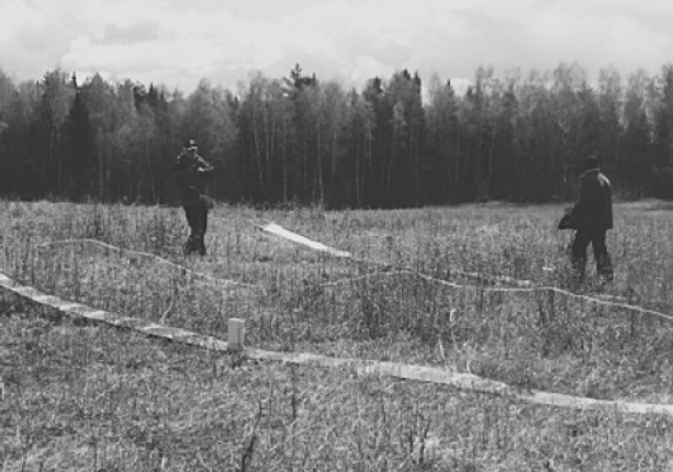
quarry for road building
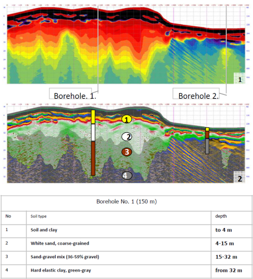
Sand and the sand-gravel resources of the quarry were evaluated. With Borehole No. 2, the lack of commercial sand gravel stocks was confirmed.
1. Waveform Mode
2. Derivative waveform mode
Inspection of dams
and reservoirs
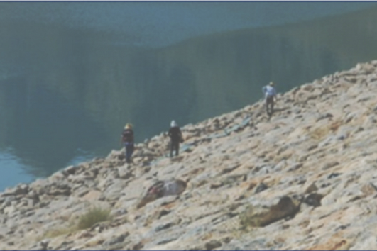
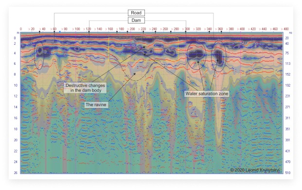
Georadar Loza-2N, 6 m antenna (25 MHz),transmitter- 21Kv. The thickness of the bulk soil is up to 20 m. Identified leakage zone dam 155 m and 180 - 200 meters.
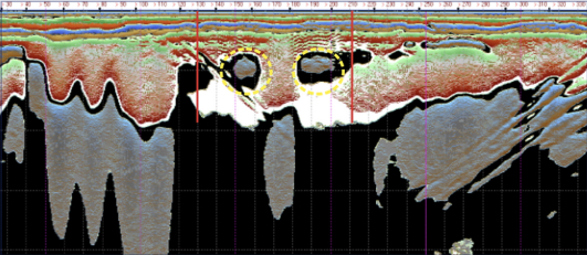
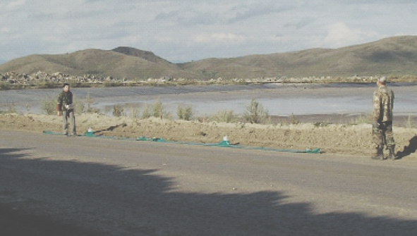
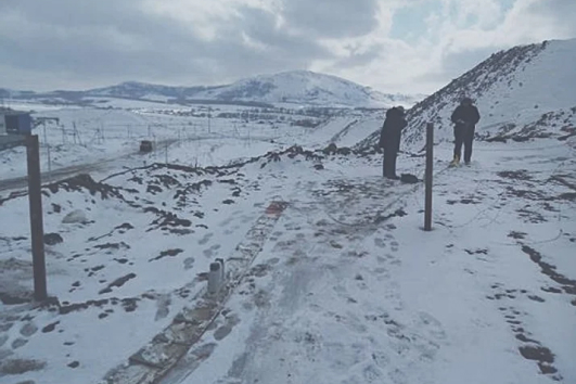
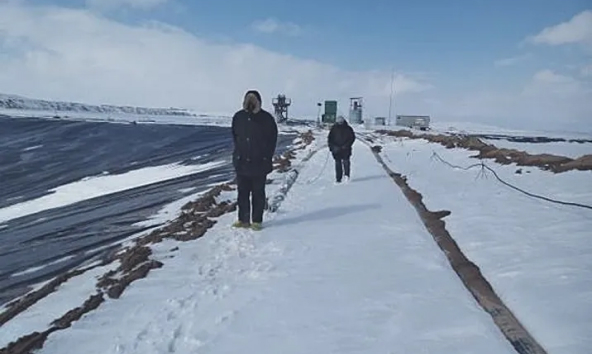
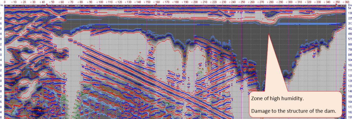
In the course of the research it was possible to identify structures of the fault type and the heterogeneity of the dam material.
Georadar Loza-2N, 6 m antenna (25 MHz),
transmitter- 21Kv.
Bathymetry
Ocean floors
Water courses.
Lakes
Reservoirs
Rivers, etc.
Stratigraphic limits
Sediments.
Fixed rock
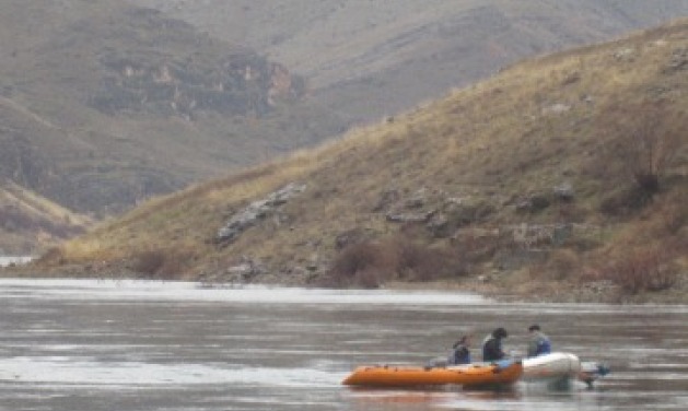
Through-water operation:
Georadar Loza-2N,
3 m antenna (50 MHz),
transmitter- 10 Kv.
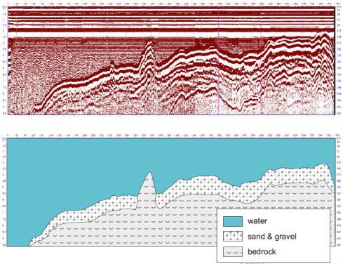
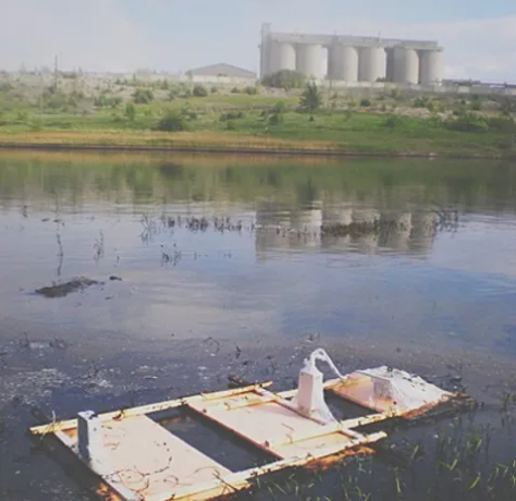
To assess the volume of fuel oil at the bottom of the lake, soundings from the water surface were carried out. The georadar was insulated with polyethylene from contamination and installed on sheets of foam. GPR operating in automatic mode (1 measurement per second) was dragged with the help of ropes from shore to shore. The survey showed that all depressions in the bottom relief and the deep-water part of the lake are filled with heavy fuel oil deposits of 1.5 to 5 meters.
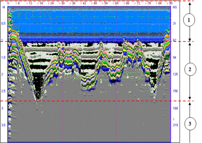
1. Water
2. Lowering the relief of the bottom of the lake,
filled with deposits of heavy fractions of fuel oil
3. Clay