Information
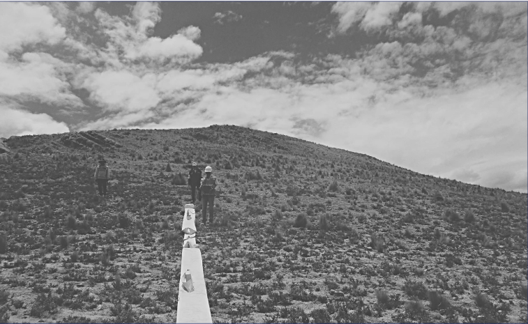
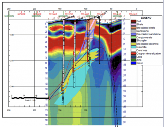
The information obtained by the GPR allows to reduce drilling costs and costs from the previous location of mineralized bodies and other geological objectives (thus avoiding systematic drilling to locate the mineralized body and facilitate the calculation of reserves).
Our geophysical method allows to reduce the number of surveys by:
Calculation of the angle and
inclination of the sounding
In this case, one or more mineralized bodies will be crossed. The information can be optimized in each survey prior to drilling. In this way, the actual costs can be reduced to less than half, or the poll program can be canceled if the size of the mineralized body is not sufficient for later exploitation, or for other reasons. Prospecting and exploration of pleasures also facilitates the positioning of ditches and local exploration wells in the most favorable areas for the accumulation of alluvial deposits.
More examples
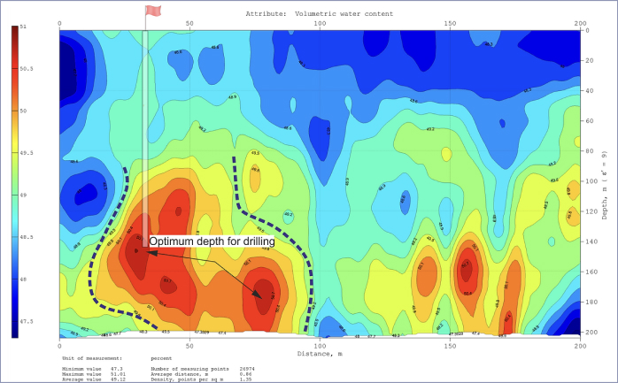
Optimal point of drilling wells for water
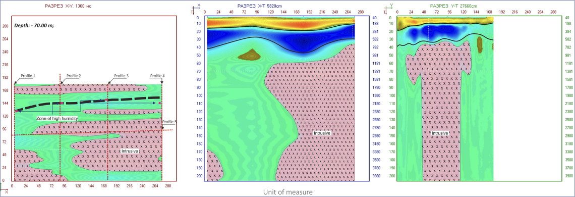
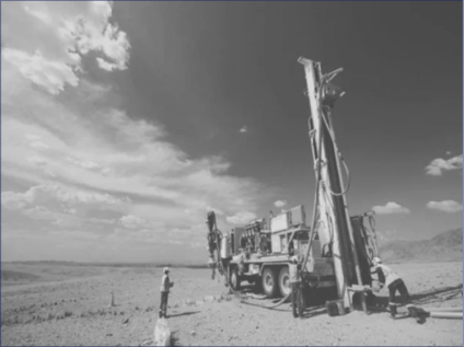
Having previously obtained the coordinates of the points for drilling and the depth of passage to achieve the final goal, it is not difficult to calculate the expenditure part of the services provided.
Investigation of the site for the
construction of the reservoir
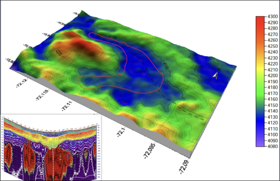
The purpose of the research: To identify possible tectonic disturbances, to establish a contact zone of sedimentary and bedrock.
In the course of GPR profiling and subsequent interpretation, it was possible to map the faulty part passing along the entire section of the future reservoir.
The subsequent geophysical and geological interpretation came to the conclusion that there is an active fault in this area. This, in turn, completely paralyzed the project in its original stage.
In this case, it was possible to save the project money for an impressive amount.
At the moment, the site is being investigated ... Monitoring is underway, which confirms the activity of this fault.
(during geophysical work)
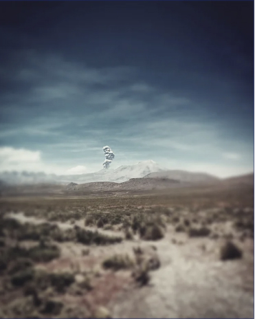
nby the GPR Loza-N
